We went on a trip to the Southwest, including Vegas, Zion National Park, the Grand canyon, North and South rims, and the Vermillion Cliffs area of Arizona, between the North and South rims of the Grand Canyon. Here are some of the 1000 (!!!) pics I took. I’m going to do 4 posts tonight. Maybe more later. I don’t want to turn into the Cliff Claven of the Grand Canyon!
The Canyon’s stark beauty is evident in this pic from Guano Point on the Hualapi reservation.
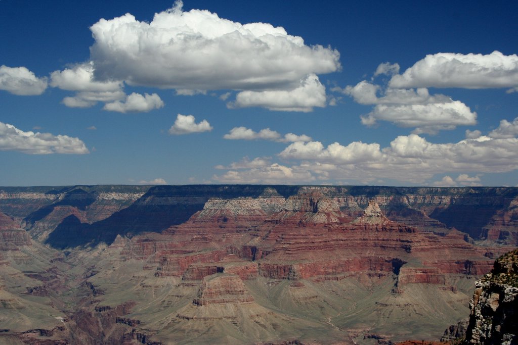
Yavapi Point looking towards the north rim.
California Condor! One of 5 we saw at the south rim in a single group. Massive wingspans and white patches on the under side of the wings made it hard to misidentify them. I didn’t notice the tags till I blew up the pics
While on our spur of the moment trip to see a covered bridge we pretty much had to stop and see the herd of buffalo. Massachusetts is well known as a natural area for bison.
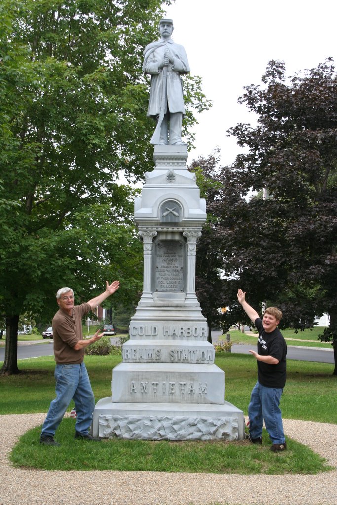
Western Central Massachusetts seems to be made up of lots of small towns. Many of them have a statue in the center of town, dedicated to Civil War Veterans. This statue was dedicated to the men of the town by a Colonel from the town. It was interesting reading the names. The reported causes of death included dying, killed in battle, shot and finally died in a prison camp. I thinkI remember reading that most men that died in the War were from disease not .50 caliber lead poisoning.
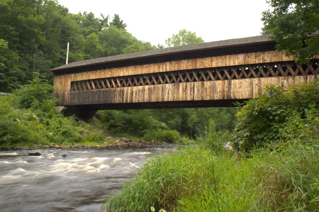
The bridge dated back to 1886. It’s closed to traffic now, but very scenic just the same.
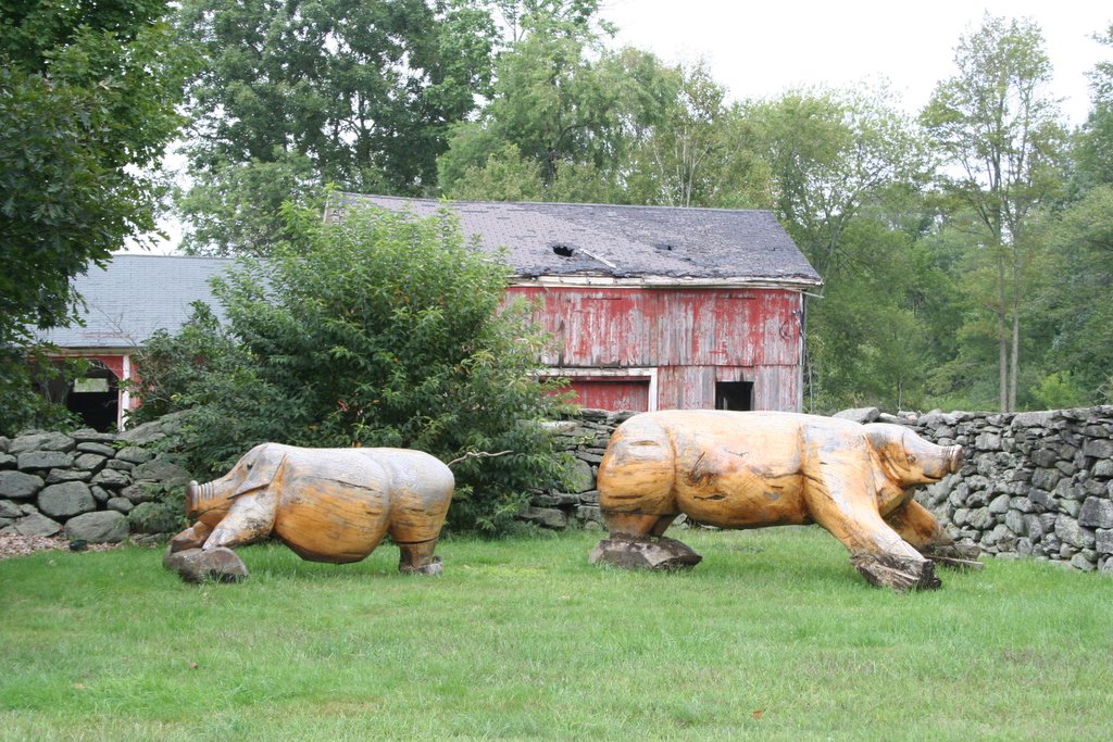
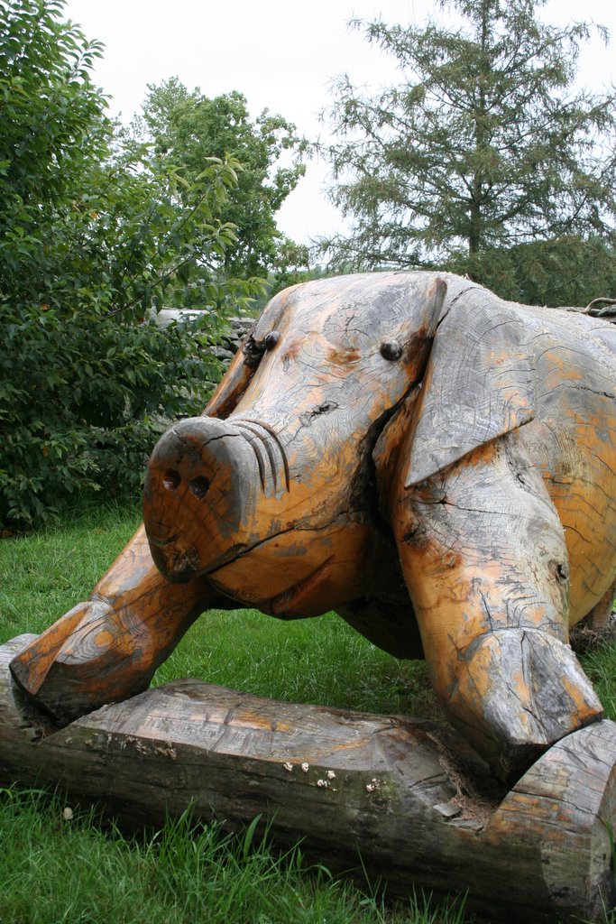
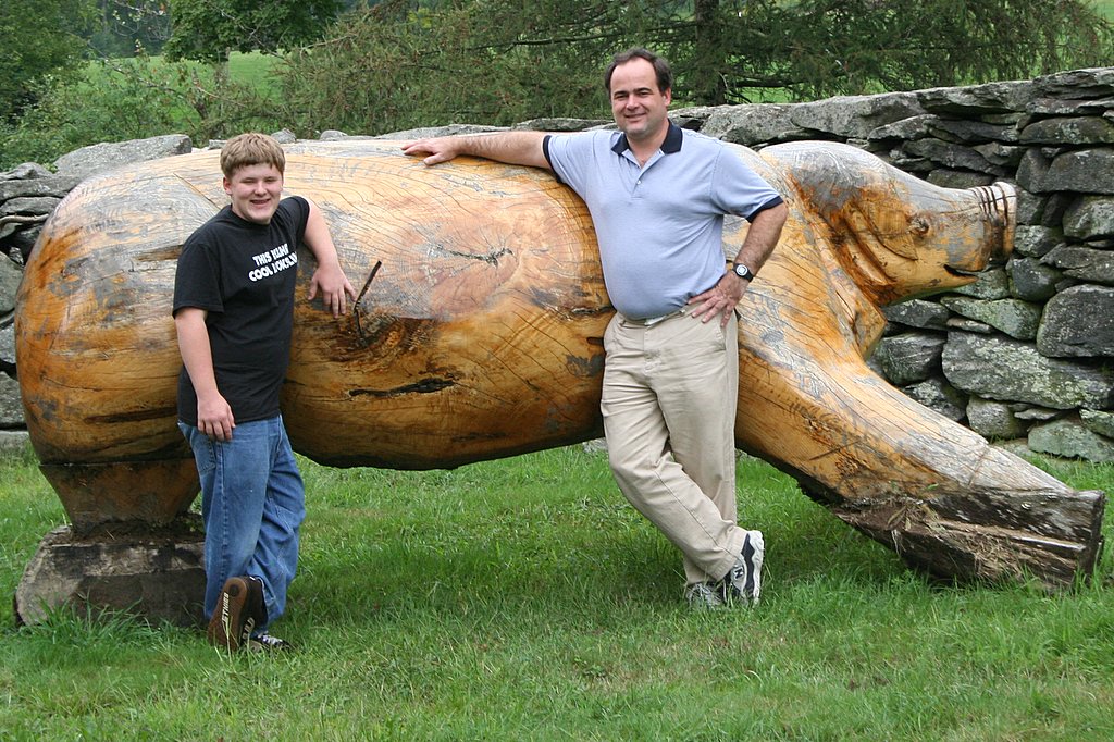
These pigs were right on the side of the road, near what i presume was a pig farm at one time.
Here is the latitude and longitude 42°20’45.36″N, 72°11’36.12″W
Try putting those in google maps! First, copy the numbers and stuff by highlighting them and pressing control and the c key at the ssame time. Then go to google.com, and clicking on maps, then using control and v to paste them into the location. Change the maps to satellite, and zoom in some. See that U shaped structure on the other side of the road? Thats where the pigs are! They must have been put in place after the aerial photography was done. Google maps and google earth rule!